Vera Schwarz · 15 September 2026
Community Monitoring Networks Reveal Microplastic Pathways in East Coast Intertidal Zones
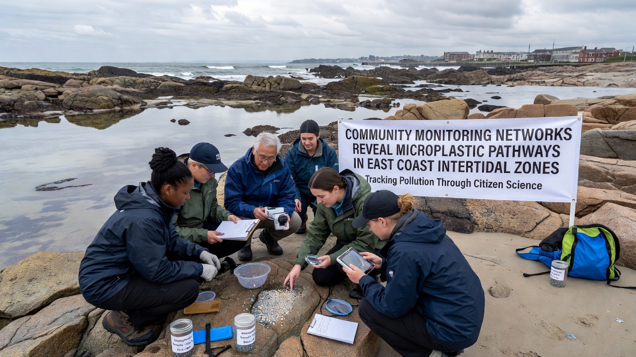
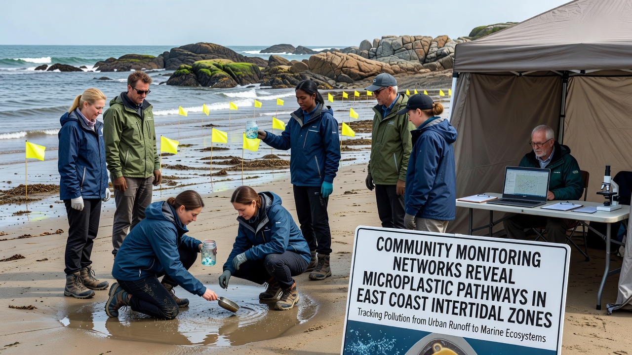
Community monitoring networks have expanded across East Coast intertidal zones in recent years, and these efforts now provide detailed maps of microplastic movement from river outflows into rocky shorelines and salt marshes. Volunteers equipped with standardized collection kits gather sediment and water samples during low tide windows, then forward materials to partner labs where particles get sorted by size and polymer type. Data compiled through these programs show that polyethylene fragments dominate samples from urban-adjacent beaches while polyester fibers appear more frequently in areas downstream from wastewater treatment plants.
Network Structure and Data Collection Methods
Local groups coordinate sampling schedules through shared online platforms, and they align collection dates with lunar cycles to capture consistent tidal conditions across sites from Maine to North Carolina. Each participant receives training on transect placement and sieving techniques, which reduces variability between teams. Labs process the samples using Fourier-transform infrared spectroscopy, and results feed into a central database that updates monthly. September 2026 figures released by participating institutions indicate a 14 percent rise in microplastic counts at three Massachusetts sites compared with the same month in 2025, while Delaware Bay stations recorded stable concentrations.
Pathway Identification Through Spatial Patterns
Researchers map particle distributions against current models and watershed boundaries, which reveals that stormwater outfalls serve as primary entry points during heavy rainfall events. Wind-driven surface currents then transport lighter fragments into sheltered coves where they settle among barnacle beds and algal mats. Community datasets highlight clusters of polypropylene pellets near commercial fishing harbors, and these clusters align with documented vessel maintenance activities. Cross-referencing volunteer counts with satellite imagery of river plumes further confirms that agricultural runoff contributes secondary fibers during spring thaw periods.
Regional Comparisons and Source Attribution
Networks operating in the Gulf of Maine report higher ratios of expanded polystyrene compared with mid-Atlantic stations, and this difference corresponds to regional packaging waste patterns documented by state environmental agencies. In contrast, Chesapeake Bay volunteers detect elevated levels of tire-wear particles near major highway bridges, while NOAA coastal surveys provide supporting current data. Canadian partners from the Gulf of St. Lawrence contribute comparative samples that show similar fiber dominance, yet lower overall densities attributed to stricter wastewater filtration standards. These cross-border exchanges allow observers to isolate local versus regional transport mechanisms without relying on single-agency models.
Long-term records now span four years at several core sites, and trend analysis shows seasonal peaks in July and August that coincide with increased recreational use and stormwater discharge. Community members also note visible accumulation zones after nor'easter storms, when wave action concentrates debris along wrack lines. Such observations complement laboratory counts and help prioritize follow-up sampling in dynamic areas.
Integration With Broader Research Efforts
University teams incorporate volunteer data into larger modeling projects that simulate particle trajectories over multi-year periods, and preliminary outputs suggest intertidal retention times average 18 to 36 months depending on sediment grain size. Partnerships with European research groups studying Baltic Sea microplastics offer method-sharing opportunities, while Australian government reports supply baseline comparisons from Southern Hemisphere intertidal systems. The combined datasets improve predictive accuracy for East Coast managers who must allocate limited cleanup resources.
Future Monitoring Expansion
Plans call for adding acoustic sensors at select network nodes to track nearshore currents in real time, and these additions will link directly to existing particle databases. Training workshops scheduled for early 2027 aim to recruit additional volunteers in underrepresented areas such as southern Virginia and Georgia. Continued coordination between community groups and regulatory bodies ensures that new findings translate into updated permitting guidelines for coastal development projects.
Conclusion
Community monitoring networks continue to supply granular evidence of microplastic pathways in East Coast intertidal zones through consistent sampling and shared analysis. Spatial and temporal patterns emerging from these efforts clarify how stormwater, wastewater, and vessel activities feed particles into sensitive habitats. Ongoing regional comparisons and technology integrations will sustain the flow of actionable information for coastal resource management.